
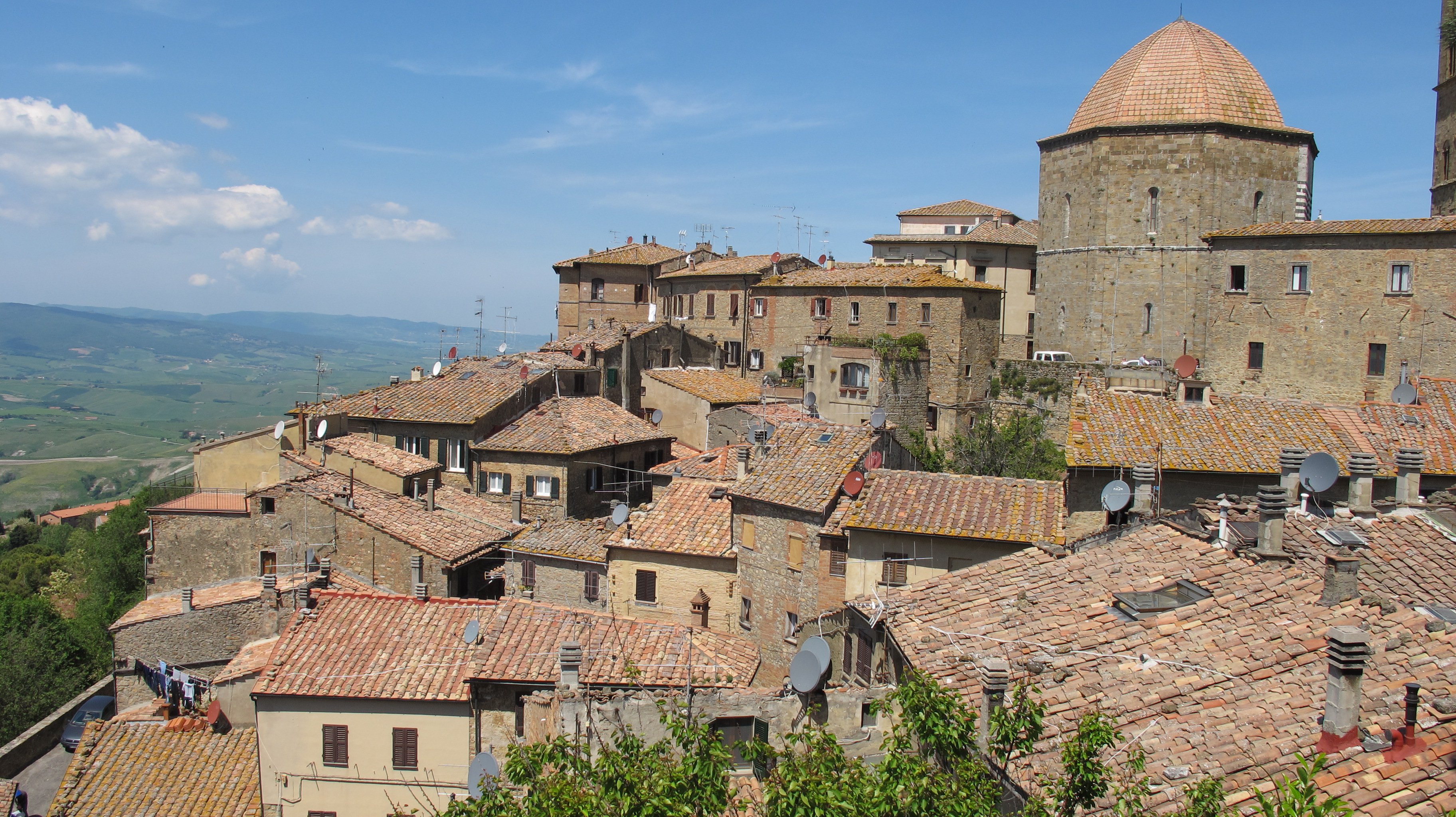

Riparbella, Pi
Riparbella
The small commune of Riparbella stands on the southern slopes of Poggio di Nocola, about twenty minutes' drive from Cecina. The top of the hill is composed of sandy soil and tufa stones, a characteristic that inspired the inhabitants of this small centre to call their town Riparbella, from the Latin Ripa Albella (White Bank). The first official attestations in which this toponym appears date back to 1034.
Cartographic documents and historical evidence, however, tell us that the castle and the surrounding settlement developed around the year 1000.
The harsh clashes between the Florentine armies and the troops of the Kingdom of Naples, which took place in that area, completely destroyed Riparbella in the year 1477. And the following year, the Republic of Florence decided to raze what was left of the castle to the ground.
The villages of the Costa degli Etruschi mainly have a 'circular' shape, branching off from the highest part of the hill on which they stand and gradually descending its slopes. The urban structure of the municipality of Riparbella, on the other hand, has a longitudinal shape, occupying only a hillside on which runs the road linking it to the SP 29 of the Val di Cecina.
The main interests that prompt a visit to the municipality of Riparbella are to be found in its rich wine and food tradition and its evocative rural landscapes. For lovers of walking, this place offers a series of nature trails that can be followed on foot, horseback or mountain bike.